What is MapBrowser?
MapBrowser is a web-based application that lets you view, mark up and export a variety of Nearmap content. Easily explore locations of interest and examine change through historical content. Take accurate measurements of important site features with MapBrowser’s easy-to-use tools and organize your work into projects. LEARN MORE
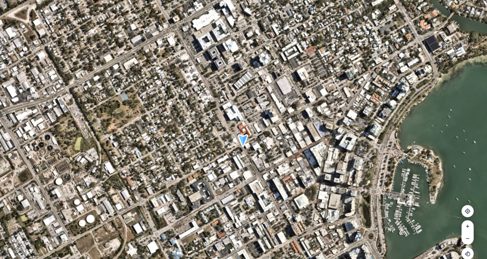
Explore a location
MapBrowser makes it easy to find any site quickly, no matter how you prefer to navigate. You can search for a location by street address, suburb, or place of interest directly from the search bar, or go straight to a site using latitude and longitude coordinates. You can also navigate by pasting a MapBrowser URL into the browser - read About the MapBrowser URL to understand how the URL encodes location and zoom level.

Once you've landed on a location, use the sidebar to view location details including property insights. Switch between available base layers, such as Vertical, Oblique, or True Ortho, using the Layer Manager to change your perspective and get a closer look at the site.

Take measurements remotely
Nearmap's high-resolution imagery means you can inspect and assess sites without leaving your desk. MapBrowser's built-in tools let you measure length along paths and boundaries, and measure area and perimeter for any polygon you draw on the map. For an overview of every tool available, see Available Measurement and Annotation Tools.

Different content types support different measurement capabilities, so check Measurement Tools for Content Types to understand what's available for Vertical, Oblique, and 3D imagery. You can also leave notes directly on the map using the Annotation tool, which is useful for marking up observations, flagging areas of interest, or collaborating with colleagues on a shared project.

Navigate back in time
Every subscription includes access to a rich catalog of historical imagery, so you can track how a site has changed over time. Use the Imagery Timeline in MapBrowser to scroll through all available captures for a location. Each survey is timestamped so you always know when the imagery was captured. The MapBrowser Content article explains the range of imagery types available to you across different dates and regions.

Use the Compare Location Details feature to place two surveys side by side and visually detect changes between them. This is particularly valuable for monitoring construction progress, vegetation growth, storm damage, or any site condition that changes over time.

Organize your work with feature layers
Everything you draw or place on the map in MapBrowser is saved as a feature layer, making it easy to organize and manage your work across projects. You can add a new layer at any time, and group layers to keep related annotations, measurements, and markers together in a logical structure. If you need to reuse a layer's content, you can duplicate a layer or copy and paste a layer into another project. Layers you no longer need can be deleted to keep the Layer Manager clean and uncluttered. You can also import and export feature layers to share your work with colleagues or bring external data into MapBrowser for reference.

Enrich your map with data layers
MapBrowser lets you overlay additional information on top of your imagery to add context to what you're viewing. Data layers are managed through the Layer Manager and include options such as Boundaries, which lets you visualize property and parcel lines directly over the imagery, and a Roads Overlay, which displays a transparent road map on top of the Vertical base layer. If your subscription includes Nearmap AI, you can also display AI Layers to surface detected features such as roof conditions, vegetation, and construction activity across your area of interest. Customers with a GeoData Link subscription can additionally display their own connected GIS data as a layer. These overlays can be toggled on or off independently, giving you full control over what information is visible on the map at any time.

Export imagery
MapBrowser gives you several ways to get high-resolution imagery out of the platform and into your workflows. Before you start, review Before You Export for important guidance on export settings and area limits. The Export tool lets you download georeferenced or high-resolution imagery of your project area, with options for different file formats covered in the Basic 2D (Single Image) Export article. For larger areas of interest, use the Advanced Export option to export in tiled formats such as GeoTIFF, JPEG, or JPEG2000 — see 2D Tiled Export for details. If you just need a quick capture of what's on screen, the Snapshot tool lets you save a screenshot at your screen's current resolution without consuming export allowance.

Collaborate using projects
MapBrowser Projects lets you add content-rich information to your location of interest, which you can save, organize and revisit.

Beyond MapBrowser
Nearmap content can also be used with third-party applications, such as ArcGIS Online, ArcGIS Pro, Autodesk Civil 3D and even your own custom applications. Depending on your workflow and content type, you can either Export content using MapBrowser or stream content using our WMS and API integrations.
Additional Resources
Getting Started with Nearmap Content
Getting Started with Nearmap APIs
Getting Started with Integrations